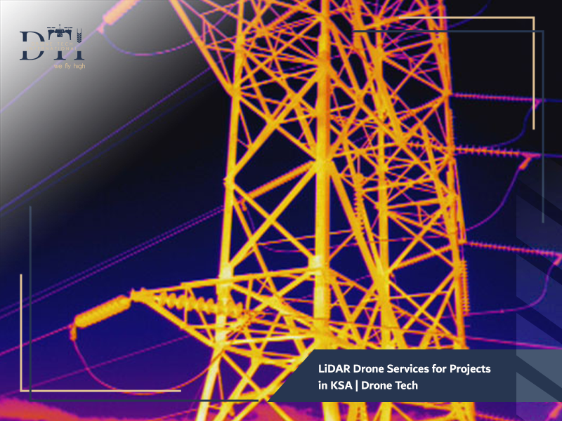
LiDAR Drone Services for Projects in KSA
The Kingdom of Saudi Arabia is currently witnessing an unprecedented construction boom. From the giga-projects of NEOM and the Red Sea Global to the rapid expansion of industrial cities, the need for speed and accuracy in terrain mapping has never been higher.
At Drone Tech, one of the leading drone companies in Saudi Arabia, we provide cutting-edge LiDAR Drone Services for Projects. This technology allows us to see through dense vegetation and capture the most intricate details of the Earth’s surface, ensuring that your engineering decisions are based on the most reliable data available today.
Looking for the right drone for your needs?
Explore a curated selection of drones and specialized solutions from our store.
What is LiDAR Technology Using Drones?
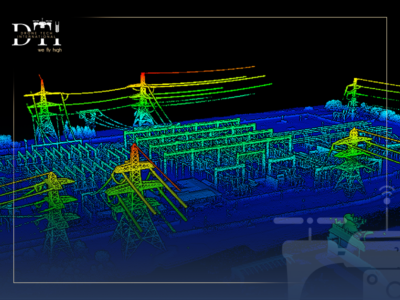
LiDAR, which stands for Light Detection and Ranging, is a remote sensing method that uses light in the form of a pulsed laser to measure ranges (variable distances) to the Earth.
When mounted on a Unmanned Aerial Vehicle (UAV), it becomes a powerful tool for aerial mapping and surveying. Unlike traditional cameras used in professional aerial photography, LiDAR doesn’t just take a picture; it creates a “point cloud” , a dense collection of millions of points that represent the 3D shape of the target and its surface characteristics.
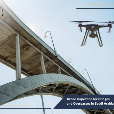
For structural assessment and safer infrastructure checks, explore our drone inspection for bridges and overpasses.
Why Engineering Projects Rely on Drone-Based LiDAR Services
In the demanding environment of Saudi Arabia, engineering firms are increasingly moving away from traditional methods. They rely on LiDAR Drone Services for Projects because:
- Surveys that used to take weeks of ground work can now be completed in hours.
- LiDAR can “see” through trees and scrub to find the true ground surface (Digital Terrain Model), which is nearly impossible with standard photogrammetry.
- It provides centimeter-level precision, essential for grading, drainage, and structural planning.
- It allows for surveying active construction sites or hazardous industrial zones without pausing operations.
To improve spatial analysis and connect field data with smart mapping outputs, learn more about our drone GIS services in Saudi Arabia.
How LiDAR Works to Collect High-Accuracy Data
The process of collecting data using drone services in Saudi Arabia involves a sophisticated synchronization of three core technologies:
- The Laser Scanner: Emits thousands of laser pulses per second toward the ground.
- GNSS (Global Navigation Satellite System): Records the exact 3D position of the drone at all times.
- IMU (Inertial Measurement Unit): Tracks the drone’s pitch, roll, and yaw to correct the laser’s orientation in real-time.
By calculating the “Time of Flight” (the time it takes for each laser pulse to hit a surface and return), the system determines the exact distance to the ground, resulting in a highly accurate spatial map.
In agricultural projects, agricultural land imaging drone services help monitor land conditions and support better crop and terrain assessment.
Types of Projects that Benefit from Drone LiDAR Services
At Drone Tech, we deploy our specialized fleet for a variety of high-stakes applications:
- Infrastructure & Roads: Mapping terrain for new highways and bridges across the Kingdom’s diverse topography.
- Urban Planning: Creating the baseline maps for smart cities and residential developments.
- Mining and Volumetrics: Precisely measuring stockpile volumes and open-pit mine excavations.
- Oil & Gas: Industrial facility inspection drone services for pipeline corridor mapping and facility planning.
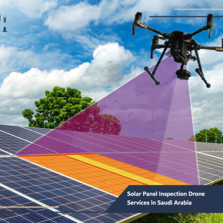
- Renewable Energy: Mapping terrain for massive solar farms, which is often followed by solar panel inspection drone services once operational.
For accurate site calculations and field measurements, our drone dimensional measurement services provide a faster and more efficient solution.
Our Services
Explore DTI’s specialized drone solutions, engineering applications, and advanced technical services.
The Role of LiDAR in Creating Accurate 3D Models
The primary output of LiDAR Drone Services for Projects is a high-density 3D Point Cloud. This data serves as the foundation for:
- Digital Twin Creation: Building a virtual replica of a physical asset.
- Contour Mapping: Generating topographic maps with 10cm to 50cm intervals.
- As-Built Surveys: Comparing the current state of a building against the original architectural BIM models to detect deviations.
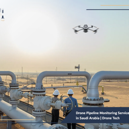
In critical infrastructure projects, drone pipeline monitoring services in Saudi Arabia help detect issues early and improve operational oversight.
Traditional Surveying vs. Drone LiDAR Solutions
The shift toward drone services in Saudi Arabia is driven by the clear advantages over legacy methods:
- Efficiency: A single drone flight can cover 500+ hectares in a day; a ground crew might cover 10-20 hectares in the same timeframe.
- Safety: No need to send surveyors into high-traffic areas, steep cliffs, or unstable terrain.
- Data Density: Traditional surveying captures hundreds of points; LiDAR captures millions, ensuring nothing is missed between “measured points.”
- Cost: While the technology is advanced, the reduction in man-hours significantly lowers the total project cost.
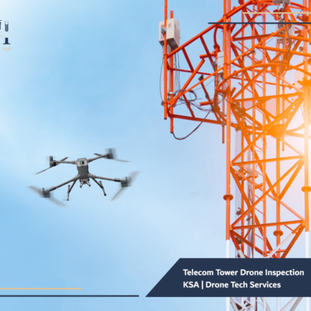
For safer and more efficient inspections in the telecom sector, see how our telecom tower drone inspection KSA solutions support maintenance and assessment.
How LiDAR Data Improves Engineering Planning and Decision-Making
Reliable data is the enemy of uncertainty. By utilizing LiDAR Drone Services for Projects, project managers can:
- Optimize Earthworks: Calculate exact cut-and-fill volumes to avoid the cost of hauling excess soil.
- Flood Risk Assessment: Accurate terrain models allow for precise hydraulic modeling to prevent flooding in new developments.
- Site Feasibility: Rapidly assess whether a site is suitable for construction before committing massive capital.
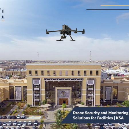
If your goal is to strengthen site visibility and field oversight, our drone security and monitoring solutions offer a practical and scalable approach.
The Importance of LiDAR in Reducing Risks and Accelerating Project Execution
In the world of Saudi contracting, delays are expensive. LiDAR minimizes risks by:
- Identifying hidden terrain obstacles before the heavy machinery arrives.
- Providing frequent site updates to ensure the project remains on schedule.
- Supporting drone security and monitoring solutions by providing a precise topographical baseline to detect unauthorized site changes or earth movements.
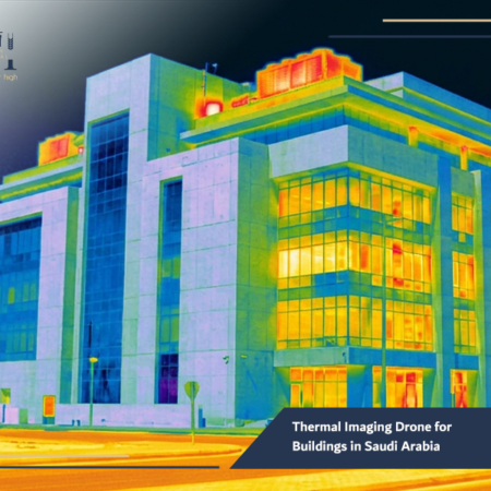
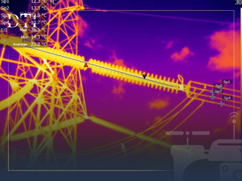
Our thermal imaging drone for buildings in Saudi Arabia helps identify hidden issues that may not be visible through conventional inspection methods.
Best Practices for Using Drone LiDAR Services in Projects
To ensure the best ROI, Drone Tech follows strict operational standards:
- Base Station Integration: Using RTK/PPK base stations to ensure absolute geographic accuracy.
- Flight Path Planning: Designing overlapping flight lines to ensure no data gaps.
- Sensor Calibration: Regular maintenance of our sensors, some of which are integrated into our local efforts for drone manufacturing in Saudi Arabia.
- Expert Data Processing: Using specialized software to filter out “noise” (like cars or temporary structures) to get to the true ground data.
In the energy sector, solar panel inspection drone services in Saudi Arabia can improve maintenance planning and detect performance issues faster.
Frequently Asked Questions about Drone LiDAR Services
Can LiDAR be used at night?
Yes. Since LiDAR is an “active” sensor that provides its own light source (the laser), it can operate in total darkness, unlike traditional aerial survey services.
How accurate is the data?
Our systems typically achieve a vertical accuracy of 2-5 cm and a horizontal accuracy of 1-3 cm, depending on flight altitude and ground conditions.
Do you provide drone rental services for LiDAR?
Yes, we offer drone rental services that include high-end LiDAR sensors along with certified pilots and data analysts.
As Saudi Arabia continues to build the future, the margin for error in engineering continues to shrink. LiDAR Drone Services for Projects represent the gold standard in site data acquisition. At Drone Tech, we don’t just provide a service; we provide a competitive advantage. By choosing our advanced aerial mapping and surveying solutions, you are choosing precision, safety, and speed.
Ready to elevate your project’s accuracy? Don’t settle for “good enough” data. Contact the experts at DroneTech today for a consultation on how LiDAR can transform your project lifecycle. Let us provide the clarity you need to build with confidence.