Drone Dimensional Measurement Services: The Gold Standard for Engineering Precision in KSA
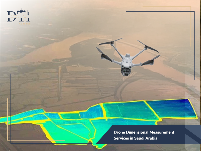
The sheer scale of infrastructure development in the Kingdom of Saudi Arabia—from the skyscrapers of Riyadh to the vast corridors of NEOM—leaves zero room for error. Traditional measurement methods are no longer sufficient to keep pace with the speed and complexity of these projects. At Drone Tech, a leading name among drone companies in Saudi Arabia, we provide specialized Drone Dimensional Measurement Services that turn the sky into a high-precision laboratory. By capturing data from above, we provide engineers with centimeter-level accuracy for distances, volumes, and structural dimensions, ensuring that every project is built exactly as designed.
What are Drone-Based Dimensional Measurement Services?
Drone-based dimensional measurement is a branch of aerial metrology that uses unmanned vehicles to capture the physical dimensions of an object or landscape. Unlike professional aerial photography, which focuses on aesthetics, these services utilize advanced sensors like LiDAR and High-Res RGB cameras to collect spatial coordinates ($X$, $Y$, and $Z$ axes). This allows for the precise measurement of heights, widths, depths, and even complex curvatures of industrial assets. Whether it is measuring a flare stack or a bridge span, Drone Dimensional Measurement Services provide a digital blueprint of reality with surgical precision.
For advanced surveying and high-accuracy data capture, explore our LiDAR drone services for projects in KSA.
Looking for the right drone for your needs?
Explore a curated selection of drones and specialized solutions from our store.
Why Engineering Projects Rely on Drone Dimensional Measurements
Engineering projects in the Kingdom are moving toward “Digital Twins” and BIM (Building Information Modeling) workflows. These projects rely on drone services in Saudi Arabia for several critical reasons:
- Inaccessible Locations: Drones can measure the height of a crane or the diameter of a storage tank without scaffolding.
- Large Scale Coverage: Measuring a 10km road stretch takes hours, not days.
- Data Density: A single flight captures millions of data points, whereas a ground surveyor might only take a few dozen measurements.
- Consistency: Robotic flight paths ensure that the same measurements can be taken repeatedly over time to track structural shifts or progress.
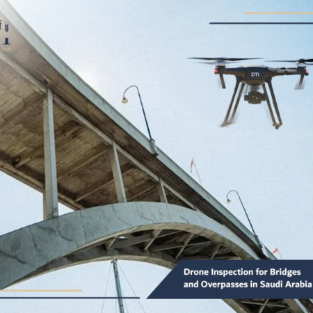
For structural assessment and safer infrastructure checks, explore our drone inspection for bridges and overpasses.
How Drones Perform High-Accuracy Distance and Dimension Measurements
The “magic” behind these measurements lies in two primary technologies: Photogrammetry and LiDAR. Using aerial mapping and surveying techniques, drones capture hundreds of overlapping images. Specialized software then identifies the same point in multiple images to calculate its exact position in 3D space through triangulation.
For even higher accuracy, we use RTK (Real-Time Kinematic) drones that communicate with a ground base station to correct GPS errors in real-time. This level of technical sophistication is why Drone Dimensional Measurement Services are now the preferred choice for high-stakes engineering in the Middle East.
To improve spatial analysis and connect field data with smart mapping outputs, learn more about our drone GIS services in Saudi Arabia.
Types of Projects that Benefit from Drone-Based Measurements
At Drone Tech, our portfolio spans across the Kingdom’s most vital sectors:
- Vertical Infrastructure: Measuring the verticality and dimensions of telecommunication towers and high-rise buildings.
- Stockpile Management: Using aerial survey services to calculate the volume of earth, gravel, or minerals with 99% accuracy.
- Industrial Plants: Providing industrial facility inspection drone services to measure pipe diameters, tank volumes, and structural clearances.
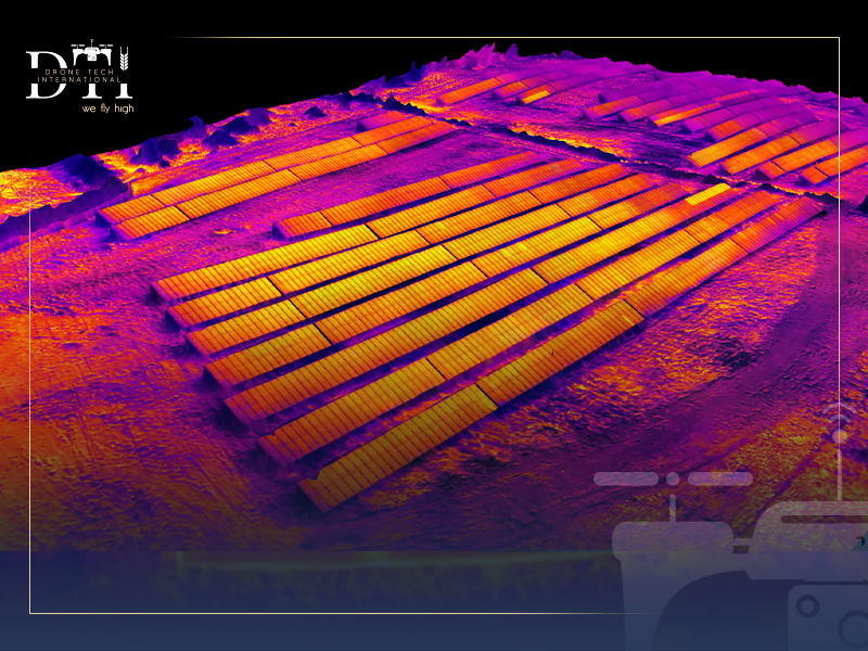
- Energy Sector: Assisting in the layout of massive energy fields, often paired with solar panel inspection drone data for perfect panel alignment.
- Roads and Bridges: Measuring span lengths and clearance heights for heavy transport logistics.
In agricultural projects, agricultural land imaging drone services help monitor land conditions and support better crop and terrain assessment.
The Role of 3D Measurements in Engineering Planning
3D measurements serve as the foundation of modern engineering. By integrating Drone Dimensional Measurement Services into the planning phase, architects can overlay 3D models of proposed buildings onto the actual “as-is” terrain. This prevents “clash” errors where new structures might interfere with existing utility lines or geographical features. In Saudi Arabia’s rapid development cycle, having this 3D spatial awareness is the difference between a successful launch and a costly redesign.
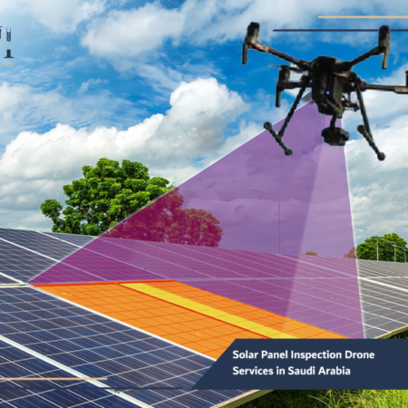
In the energy sector, solar panel inspection drone services in Saudi Arabia can improve maintenance planning and detect performance issues faster.
Our Services
Explore DTI’s specialized drone solutions, engineering applications, and advanced technical services.
Traditional Measurement Methods vs. Drone-Based Measurements
Traditional surveying requires total stations, tripods, and human teams physically traversing dangerous sites. This method is often slow and prone to human error, especially in the heat of the Saudi desert.
By contrast, drone services in Saudi Arabia offer:
- Speed: Drones are up to 10x faster than ground crews.
- Safety: No need for workers to climb dangerous structures or enter unstable excavation pits.
- Comprehensive Data: While a traditional surveyor measures “points,” a drone measures “surfaces,” providing a much richer dataset for analysis.
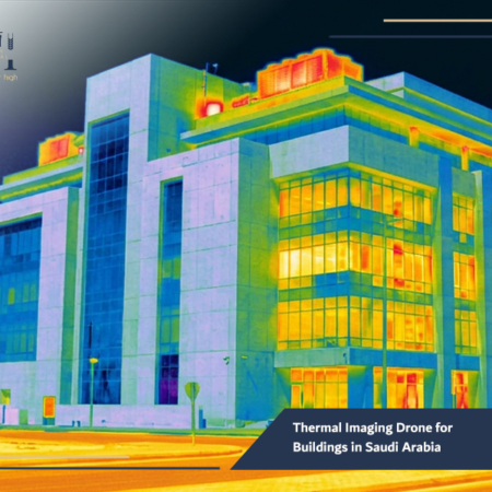
Our thermal imaging drone for buildings in Saudi Arabia helps identify hidden issues that may not be visible through conventional inspection methods.
How Drone Measurements Reduce Errors and Project Costs
In construction, a 10cm error can cost millions in rework. Drone Dimensional Measurement Services eliminate this risk by providing a “Single Source of Truth.” By comparing the drone-captured 3D model with the original CAD designs, engineers can spot deviations early. Furthermore, by reducing the time spent on-site and the size of the ground crew, projects save significantly on labor costs and equipment drone rental services.
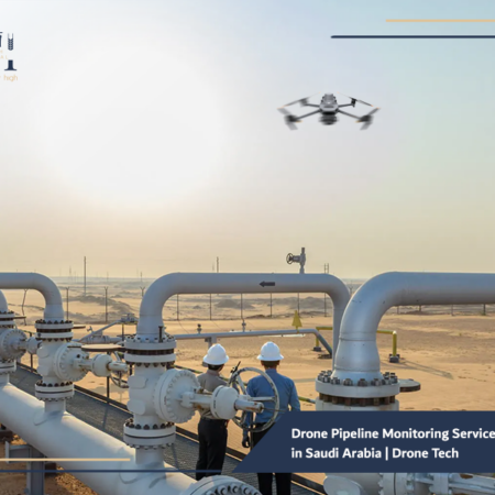
In critical infrastructure projects, drone pipeline monitoring services in Saudi Arabia help detect issues early and improve operational oversight.
The Importance of Accurate Data in Project Decision-Making
Every decision a project manager makes is only as good as the data they have. Accurate dimensional data allows for:
- Precise Procurement: Knowing exactly how much material is needed, reducing waste.
- Risk Mitigation: Identifying structural weaknesses or ground subsidence early.
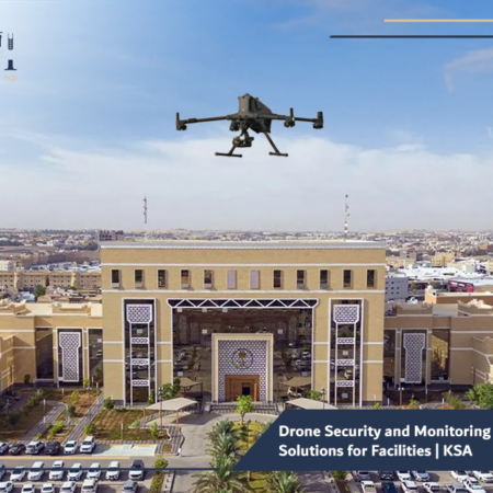
- Security Integration: Using drone security and monitoring solutions to ensure the site’s physical perimeter matches the legal property boundaries.
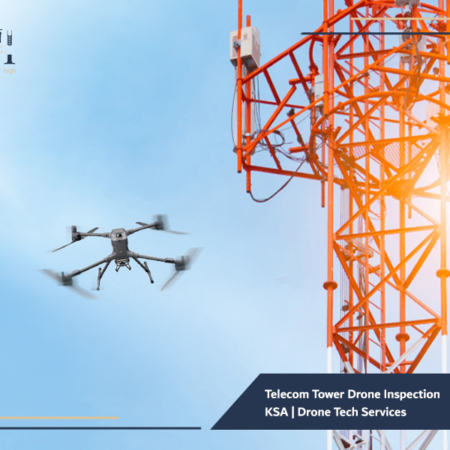
For safer and more efficient inspections in the telecom sector, see how our telecom tower drone inspection KSA solutions support maintenance and assessment.
Best Practices for Using Drone Dimensional Measurement Services
To ensure the highest quality data, Drone Tech adheres to international best practices:
- Ground Control Points (GCPs): We use physical markers on the ground to “anchor” the drone data to the real world.
- Optimal Lighting: Flying during peak sun hours to minimize shadows that could distort 3D models.
- Hardware Quality: Leveraging the latest sensors, some of which are part of the growing movement toward drone manufacturing in Saudi Arabia.
- Certified Expertise: Ensuring all pilots are licensed by GACA and trained in engineering metrology.
If your goal is to strengthen site visibility and field oversight, our drone security and monitoring solutions offer a practical and scalable approach.
Frequently Asked Questions about Drone Dimensional Measurements
- How accurate are drone measurements?
With proper RTK equipment and GCPs, we achieve a relative accuracy of 1-3 cm and absolute accuracy within 5 cm.
- Can drones measure indoor spaces?
Yes, we use specialized indoor drones equipped with LiDAR to measure warehouses, tunnels, and large industrial halls where GPS is unavailable.
- Do you offer equipment for long-term projects?
Absolutely. We provide drone rental services with or without pilots for projects that require daily or weekly measurement updates.
Conclusion
The future of Saudi Arabian engineering is digital, and that future is being measured from the sky. Drone Dimensional Measurement Services provide the speed, safety, and precision required to build the world’s most ambitious projects. At Drone Tech, we are proud to be the Kingdom’s trusted partner in turning complex aerial data into actionable engineering intelligence.
Do you want to eliminate measurement errors in your next project?
Contact the specialists at Drone Tech today. From aerial mapping and surveying to complex 3D modeling, we have the tools and the talent to ensure your project is a resounding success. Let’s measure the future together.