Aerial Monitoring Solutions for Construction Sites: Transforming Project Efficiency Across Saudi Arabia
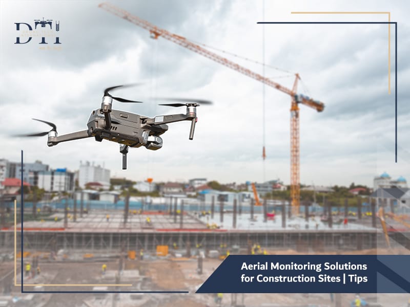
What if you could monitor your entire construction site from above — track every stage, inspect every structure, and ensure safety in real time? That’s exactly what Aerial Monitoring Solutions for Construction Sites make possible through the use of advanced drone technology.
Across Saudi Arabia, contractors, developers, and government authorities are adopting drone services to improve oversight, documentation, and decision-making in construction projects.
At Drone Tech International, we provide specialized drone services in Saudi Arabia, combining aerial mapping and surveying, professional aerial photography, and drone security and monitoring solutions to help construction companies deliver projects faster, safer, and with higher precision.
Why Is Aerial Monitoring Important for Modern Construction Projects?
In today’s fast-paced construction industry, accuracy and visibility are everything, Managing large-scale projects often involves multiple teams, subcontractors, and heavy machinery — making it difficult to maintain consistent oversight.
Aerial monitoring solutions solve this challenge by offering a comprehensive, real-time view of the entire site from above.
With drones, managers can track progress, identify potential issues, and ensure compliance with design specifications — all without stepping foot on the ground.
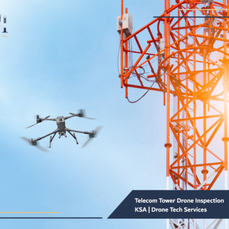
In Saudi Arabia, where massive infrastructure developments like NEOM, The Line, and Red Sea Global are reshaping the landscape, drone companies play a vital role in helping engineers stay informed and in control.
Explore our guide to the Best Drone Companies in Saudi Arabia to see what sets leading providers apart in quality, compliance, and performance.
Looking for the right drone for your needs?
Explore a curated selection of drones and specialized solutions from our store.
How Do Drones Help Track Progress and Monitor Construction Stages?
Drones equipped with high-resolution cameras and GPS sensors provide continuous updates on construction activities.
By flying over the site at scheduled intervals, drones capture detailed aerial images and videos that can be compared over time.
Here’s how aerial monitoring solutions track progress effectively:
- Visual Progress Reports: Weekly or monthly drone flights generate visual timelines for stakeholders.
- 3D Site Models: Using aerial mapping and surveying, drones create 3D digital models to compare actual progress with design plans.
- Activity Tracking: Managers can monitor workforce activity, material deliveries, and equipment usage.
- Remote Monitoring: Engineers and investors can view site progress in real time — from anywhere in the world.
At Drone Tech International, we combine imagery, photogrammetry, and analytics into one platform, allowing clients to make informed decisions instantly.
Learn more about our Drone Services in Saudi Arabia and how they support surveying, inspection, and monitoring across different industries.
What Are the Benefits of Aerial Imaging for Project Documentation and Analysis?
Every construction project requires accurate and transparent documentation — for internal reporting, client communication, and regulatory compliance.
Aerial imaging with drones provides unmatched clarity and detail compared to ground photography.
Key Benefits Include:
- Comprehensive Perspective: Capture large areas in a single image.
- High-Resolution Detail: Identify fine construction details, even from 100 meters above.
- Accurate Measurements: Calculate distances, areas, and volumes using aerial survey services.
- Efficient Reporting: Generate automated reports with visuals for stakeholders.
These capabilities ensure construction documentation is not only accurate but also visually compelling — ideal for project presentations, audits, or marketing.
Read more about Drone Aerial Surveying in Saudi Arabia and how it helps improve accuracy, speed, and project efficiency.
How Can Drones Improve Productivity and Quality Control?
Time and quality are the two most critical success factors in construction.
Drones enhance both by providing real-time visibility and data-driven insights that streamline operations.
Productivity Improvements:
- Faster Inspections: A drone can scan a large site in minutes, replacing hours of manual checking.
- Reduced Rework: Early detection of alignment or elevation errors prevents costly delays.
- Resource Optimization: Managers can monitor equipment and personnel usage for efficiency.
Quality Control Benefits:
- Precision Mapping: Drones produce centimeter-level accurate topographic surveys.
- Design Verification: Compare on-site progress with CAD or BIM models.
- Defect Detection: Identify cracks, surface irregularities, or structural deviations early.
By integrating drone data analytics, Drone Tech International helps construction teams maintain the highest levels of quality assurance throughout the project lifecycle.
Discover how 3D Drone Mapping Services can support better planning, visualization, and data-driven project execution.
What Role Do Drones Play in Ensuring Site Safety and Reducing Errors?
Construction sites can be hazardous — especially on large infrastructure projects involving cranes, scaffolding, and excavation.
Drones reduce these risks by keeping people away from dangerous zones while still providing complete visibility.
Here’s how they enhance safety:
- Hazard Identification: Detect unsafe practices, unstable structures, or blocked access routes.
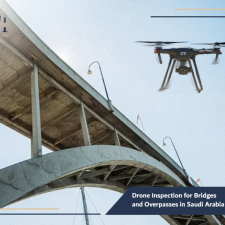
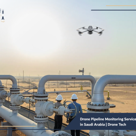
- Routine Inspections: Conduct industrial facility inspection drone surveys for structural integrity.
- Emergency Monitoring: Provide live feeds during accidents or incidents for rapid response.
- Compliance Checks: Verify safety protocols and PPE adherence remotely.
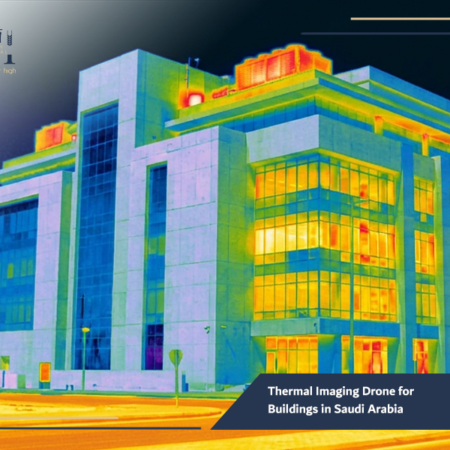
In addition, drones equipped with thermal imaging can identify overheating machinery or electrical faults — preventing accidents before they happen.
Safety managers in Saudi Arabia’s construction and energy sectors now rely on drones as essential tools for risk management and incident prevention.
Find out how an Industrial Facility Inspection Drone solution can improve safety and make asset inspections more efficient.
How Do Aerial Monitoring Solutions Assist in Project Management and Reporting?
Aerial data is not just about imagery — it’s a powerful tool for project management.
By integrating drone data into digital platforms, teams can visualize progress, track budgets, and share insights with stakeholders instantly.
Drone Tech International offers integrated solutions that allow:
- Automatic Mapping: Convert drone images into orthomosaic maps and 3D models.
- Progress Dashboards: Measure progress against project schedules.
- Cloud-Based Collaboration: Share updated maps and reports with clients or contractors.
- Regulatory Compliance: Store and document inspection records for authorities.
This real-time transparency helps developers make faster, data-backed decisions while keeping all teams aligned — a critical advantage in large-scale Saudi projects where precision and accountability matter.
Read more about Aerial Monitoring Services for Highways and how they help track progress and improve infrastructure oversight.
What Are the Practical Applications of Drones in the Saudi Construction Sector?
Saudi Arabia’s construction industry is rapidly embracing drones for a wide range of applications.
Common Uses Include:
- Site Surveying and Planning – Conducting aerial mapping and surveying for land preparation and design validation.
- Progress Monitoring – Regular updates on project milestones through professional aerial photography.
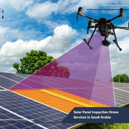
- Inspection and Maintenance – Assessing cranes, scaffolding, and roofing using industrial inspection drones.
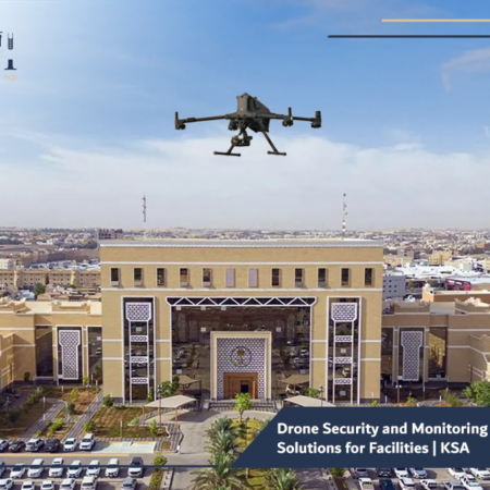
- Security Surveillance – Implementing drone security and monitoring solutions for site protection.
- Marketing and Media – Producing high-quality aerial videos for promotional and stakeholder presentations.
With the government’s focus on digital transformation under Vision 2030, demand for drone companies in Saudi Arabia is growing rapidly — and Drone Tech International stands at the forefront, providing certified and reliable UAV services for the construction industry.
Explore our Drone Solutions for Oil and Gas in KSA to see how drone operations support safer and smarter field inspections.
Our Services
Explore DTI’s specialized drone solutions, engineering applications, and advanced technical services.
Frequently Asked Questions about Aerial Monitoring Solutions for Construction Sites
Q1: Are aerial monitoring drones legal for commercial use in Saudi Arabia?
Yes. All drone operations must comply with the General Authority of Civil Aviation (GACA) regulations. Drone Tech International operates under full certification and compliance.
Q2: How often should construction sites be monitored by drones?
Most projects conduct weekly or biweekly drone flights for consistent tracking, though frequency can vary depending on project scale and complexity.
Q3: Can drones operate in high temperatures or dusty environments?
Yes. Our industrial-grade UAVs are designed to withstand Saudi Arabia’s harsh climate conditions.
Q4: What type of data do drones provide for construction monitoring?
High-resolution imagery, 3D maps, volumetric measurements, and thermal data for equipment and structural analysis.
Q5: Can clients rent drones for short-term projects?
Absolutely. Drone rental services are available with trained pilots and full data processing support.
Learn how Drone Services for Mining Sector help improve site monitoring, measurement accuracy, and operational planning.
The future of construction monitoring is airborne, With Aerial Monitoring Solutions for Construction Sites, developers and contractors can ensure precision, safety, and efficiency across every phase of their projects.
At Drone Tech International, we combine technology, expertise, and innovation to deliver world-class drone services in Saudi Arabia that meet the highest industry standards.
From aerial mapping and surveying to real-time progress tracking, our UAV solutions empower project managers to make smarter decisions — faster and with greater confidence.
Contact Drone Tech International today to discover how our drone monitoring solutions can elevate your construction project visibility, accuracy, and control.