Drone Aerial Surveying in Saudi Arabia: Redefining Precision and Efficiency in Modern Mapping
Imagine completing a land survey that once took weeks — in just a few hours, That’s the power of Drone Aerial Surveying in Saudi Arabia, a technology that’s transforming how data is collected, analyzed, and applied across industries.
Today, drone services in Saudi Arabia are being used not only for professional aerial photography but also for aerial mapping and surveying, industrial inspections, and infrastructure planning.
With companies like Drone Tech International leading the charge, this technology is helping government and commercial sectors achieve higher accuracy, safety, and cost-efficiency than ever before.
What is Drone Aerial Surveying and How Does it Differ from Traditional Surveying?
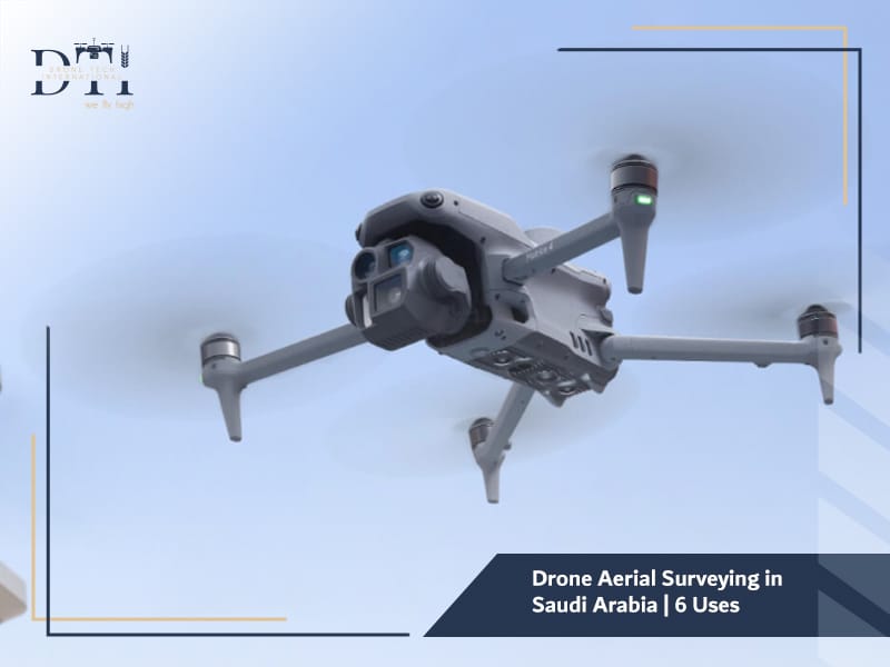
Drone aerial surveying involves using unmanned aerial vehicles (UAVs) equipped with high-resolution cameras and LiDAR sensors to capture detailed geographic and topographic data from the air.
Unlike traditional surveying — which depends on ground-based instruments and manual measurements — drone-based surveys provide:
- Faster data acquisition over large areas
- High-resolution, three-dimensional imagery
- Remote access to hard-to-reach or hazardous locations
With aerial survey services, surveyors can now create accurate terrain models, contour maps, and volumetric calculations with greater speed and safety.
This makes drones the go-to tool for modern engineering, construction, and infrastructure projects.
Explore our guide to the Best Drone Companies in Saudi Arabia to see what sets leading providers apart in quality, compliance, and performance.
Looking for the right drone for your needs?
Explore a curated selection of drones and specialized solutions from our store.
How Has Aerial Surveying Evolved in Saudi Arabia with Modern Drone Technology?
In the past, aerial mapping in Saudi Arabia was limited to manned aircraft and satellite imagery — both costly and time-consuming.
However, the introduction of advanced drone companies in Saudi Arabia has completely changed the landscape.
Today, Drone Tech International and other certified providers use UAVs integrated with LiDAR, RTK GPS, and AI-based analytics to generate centimeter-level accuracy for mapping and monitoring.
According to the General Authority of Civil Aviation (GACA), drone adoption has grown by over 60% in the last five years due to national initiatives supporting technological innovation under Vision 2030.
This evolution has made aerial data accessible and affordable, empowering industries like construction, agriculture, and energy to make smarter, data-driven decisions.
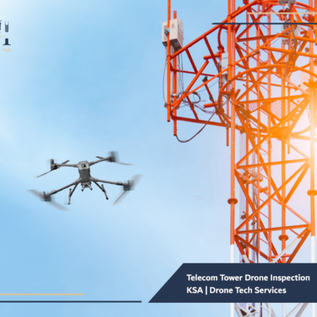
Learn more about our Drone Services in Saudi Arabia and how they support surveying, inspection, and monitoring across different industries.
What Are the Main Advantages of Using Drones for Topographic and Engineering Surveys?
Using drones for aerial surveys offers a host of advantages compared to conventional methods:
- Speed and Efficiency – Drones can cover hundreds of hectares in a matter of hours, drastically reducing project timelines.
- High Accuracy – With RTK (Real-Time Kinematic) positioning and advanced sensors, results are accurate to within centimeters.
- Cost-Effectiveness – No need for expensive aircraft or large survey teams.
- Safety – Remote surveying eliminates the need for personnel to enter hazardous or hard-to-reach areas.
- Comprehensive Data Output – Drones capture imagery, 3D models, and elevation data in a single flight.
These benefits are why organizations across Saudi Arabia — from government agencies to private developers — now rely on aerial survey services for their projects.
Discover how 3D Drone Mapping Services can support better planning, visualization, and data-driven project execution.
How Do LiDAR and Photogrammetry Technologies Improve Mapping Accuracy?
Two core technologies define modern drone aerial surveying — LiDAR (Light Detection and Ranging) and photogrammetry.
- LiDAR uses laser pulses to measure distances with extreme precision, generating accurate 3D point clouds even in dense or vegetated terrain.
- Photogrammetry, on the other hand, converts overlapping aerial photographs into detailed 3D maps through advanced image processing algorithms.
By combining both, Drone Tech International can deliver engineering-grade survey data suitable for road design, mining operations, and land development.
For example, LiDAR is ideal for mapping rough or forested areas, while photogrammetry excels in capturing detailed urban structures.
Together, these tools make aerial mapping and surveying faster, safer, and more precise than ever before.
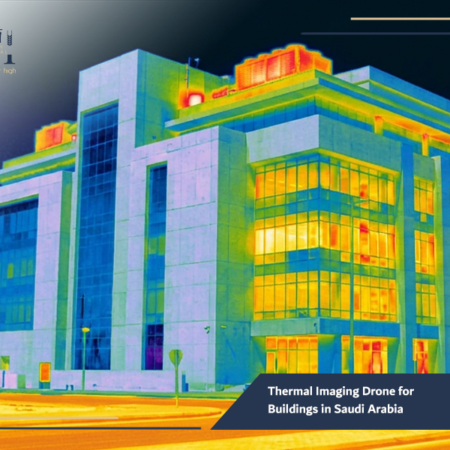
Find out how an Industrial Facility Inspection Drone solution can improve safety and make asset inspections more efficient.
Which Sectors Benefit the Most from Aerial Surveying?
Drone aerial surveying serves as a versatile tool across many industries in Saudi Arabia. Here’s how different sectors are leveraging this technology:
- Construction and Infrastructure
-
-
- Progress tracking for large construction projects
- Topographic mapping for site planning and road design
- Monitoring earthworks and calculating volumes for excavation
-
- Agriculture and Environmental Management
-
-
- Assessing crop health using multispectral imaging
- Monitoring soil conditions and irrigation systems
- Supporting smart farming initiatives under Vision 2030
-
- Energy and Industrial Operations
-
-
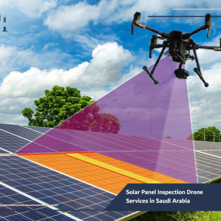
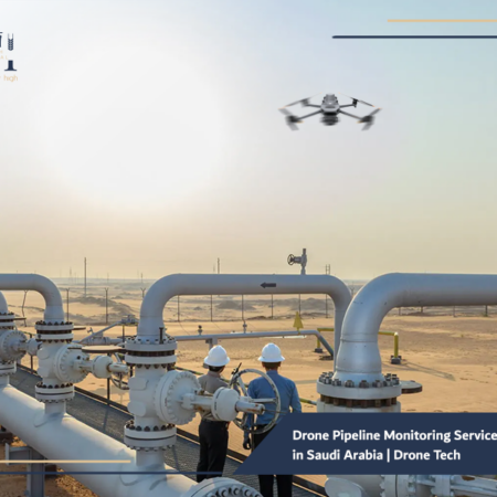
- Industrial facility inspection drones help evaluate pipelines, powerlines, and solar farms.
- Solar panel inspection drones identify damage or efficiency issues quickly.
-
- Government and Defense
-
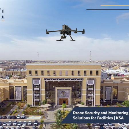
- Drone security and monitoring solutions are used for border surveillance, urban development, and infrastructure safety.
With such diverse applications, drone companies in Saudi Arabia are becoming vital partners in the nation’s industrial and environmental progress.
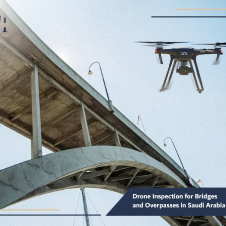
Read more about Aerial Monitoring Services for Highways and how they help track progress and improve infrastructure oversight.
What Are the Main Challenges Facing Aerial Surveying Operations in Saudi Arabia?
Despite its rapid growth, drone aerial surveying faces certain challenges:
- Regulatory Compliance – Operators must follow GACA regulations and obtain flight permissions for each project.
- Weather Conditions – Extreme heat, wind, or dust can impact flight stability and image quality.
- Data Management – Large datasets require advanced processing tools and skilled analysts.
- Terrain Accessibility – Mountainous or remote desert regions may need specialized drones with extended range and endurance.
To overcome these challenges, Drone Tech International uses robust drones with RTK systems, high wind resistance, and long-range capabilities — ensuring reliable data capture under Saudi conditions.
Explore our Drone Solutions for Oil and Gas in KSA to see how drone operations support safer and smarter field inspections.
Why Is Accuracy and Data Analysis Critical in Drone Surveying Projects?
The value of drone surveying lies not only in data collection but in data interpretation.
Accurate analysis ensures that every measurement, contour, and 3D model aligns with real-world conditions.
For example, a 5 cm elevation error in a construction site map can affect foundation levels and cost millions in rework.
That’s why Drone Tech International employs precision mapping tools, AI-driven analytics, and skilled GIS engineers to validate every dataset.
From aerial mapping and surveying to industrial inspections, accuracy and reliability are non-negotiable — especially in large-scale infrastructure projects that demand millimeter-level precision.
Learn how Drone Services for Mining Sector help improve site monitoring, measurement accuracy, and operational planning.
DRONE TECH INTERNATIONAL
Our Services
Explore DTI’s specialized drone solutions, engineering applications, and advanced technical services.
How Do Drone Surveying Services Save Time and Costs for Large Projects?
Traditional surveys often require teams of engineers and weeks of fieldwork.
In contrast, drones can map the same area within a day, with minimal manpower.
Here’s how drone aerial surveying cuts costs and time:
- Less Labor: Reduces the number of surveyors required on-site.
- Faster Turnaround: Quick data processing means faster project approvals.
- Reduced Equipment Costs: No need for expensive ground scanners or aircraft rentals.
- Minimized Downtime: Surveys can be conducted without halting ongoing operations.
According to PwC Middle East (2024), companies that adopted drone services in Saudi Arabia reduced surveying costs by up to 40% and project delivery times by 50%.
In industries like oil and gas, construction, and mining — those savings can translate to millions of riyals annually.
Read more about Aerial Monitoring Solutions for Construction Sites and how they help teams monitor progress and manage projects more effectively.
Frequently Asked Questions about Drone Aerial Surveying in Saudi Arabia
Q1: Are drone surveying operations legal in Saudi Arabia?
Yes. All drone flights for commercial use must be approved by GACA and operated by licensed UAV pilots.
Q2: What is the accuracy level of drone aerial surveys?
With RTK drones and ground control points, surveys can achieve accuracy within 2–3 centimeters.
Q3: Can drones operate in desert or high-temperature environments?
Yes. Industrial-grade drones used by Drone Tech International are designed to function efficiently in Saudi Arabia’s harsh climate.
Q4: What industries use drone surveying the most?
Construction, oil & gas, energy, mining, and agriculture sectors rely heavily on aerial survey services.
Q5: Can I rent drones for short-term surveying projects?
Absolutely. Drone rental services are available for both private and government entities with trained operators and equipment support.
From massive infrastructure developments to agricultural expansion, Drone Aerial Surveying in Saudi Arabia is reshaping how organizations collect and analyze spatial data, It’s faster, safer, and more precise than any traditional surveying method — and it’s central to Saudi Arabia’s digital transformation.
At Drone Tech International, we combine innovation with expertise to deliver high-quality aerial mapping and surveying solutions tailored to your project’s needs.
Whether you need a solar panel inspection drone, a topographic mapping solution, or a full-scale industrial facility inspection, our technology and team are ready to help.
Contact Drone Tech International today to explore how our drone services in Saudi Arabia can elevate your next project with accuracy that reaches new heights.